
Northampton County ZIP Code Geography
Northampton County has cities, boroughs, townships, rural routes, and postal-place names. Those are different geographies. The Census relationship file identifies 26 2020 Census ZIP Code Tabulation Areas, or ZCTAs, that intersect the county. A ZCTA is a Census approximation of USPS service territory, not a complete postal ZIP list. A valid ZIP may have no ZCTA, and a ZCTA can cross a county line. The table is therefore a countywide Census footprint, not a post-office directory or a claim that each code belongs entirely to Northampton County.
| ZIP / ZCTA | Area covered in the file | Post office | Important note |
|---|---|---|---|
| 18013 | Census ZCTA intersects Northampton County | Verify with USPS | Not a USPS ZIP equivalence |
| 18014 | Census ZCTA intersects Northampton County | Verify with USPS | May cross a county boundary |
| 18015 | Census ZCTA intersects Northampton County | Verify with USPS | Not a USPS ZIP equivalence |
| 18017 | Census ZCTA intersects Northampton County | Verify with USPS | May cross a county boundary |
| 18018 | Census ZCTA intersects Northampton County | Verify with USPS | Not a USPS ZIP equivalence |
| 18020 | Census ZCTA intersects Northampton County | Verify with USPS | May cross a county boundary |
| 18032 | Census ZCTA intersects Northampton County | Verify with USPS | Not a USPS ZIP equivalence |
| 18035 | Census ZCTA intersects Northampton County | Verify with USPS | May cross a county boundary |
| 18038 | Census ZCTA intersects Northampton County | Verify with USPS | Not a USPS ZIP equivalence |
| 18040 | Census ZCTA intersects Northampton County | Verify with USPS | May cross a county boundary |
| 18042 | Census ZCTA intersects Northampton County | Verify with USPS | Not a USPS ZIP equivalence |
| 18045 | Census ZCTA intersects Northampton County | Verify with USPS | May cross a county boundary |
| 18055 | Census ZCTA intersects Northampton County | Verify with USPS | Not a USPS ZIP equivalence |
| 18063 | Census ZCTA intersects Northampton County | Verify with USPS | May cross a county boundary |
| 18064 | Census ZCTA intersects Northampton County | Verify with USPS | Not a USPS ZIP equivalence |
| 18067 | Census ZCTA intersects Northampton County | Verify with USPS | May cross a county boundary |
| 18072 | Census ZCTA intersects Northampton County | Verify with USPS | Not a USPS ZIP equivalence |
| 18077 | Census ZCTA intersects Northampton County | Verify with USPS | May cross a county boundary |
| 18083 | Census ZCTA intersects Northampton County | Verify with USPS | Not a USPS ZIP equivalence |
| 18085 | Census ZCTA intersects Northampton County | Verify with USPS | May cross a county boundary |
| 18086 | Census ZCTA intersects Northampton County | Verify with USPS | Not a USPS ZIP equivalence |
| 18088 | Census ZCTA intersects Northampton County | Verify with USPS | May cross a county boundary |
| 18091 | Census ZCTA intersects Northampton County | Verify with USPS | Not a USPS ZIP equivalence |
| 18109 | Census ZCTA intersects Northampton County | Verify with USPS | May cross a county boundary |
| 18343 | Census ZCTA intersects Northampton County | Verify with USPS | Not a USPS ZIP equivalence |
| 18351 | Census ZCTA intersects Northampton County | Verify with USPS | May cross a county boundary |
The Census ZCTA-to-county relationship file is the source for the listed intersections.
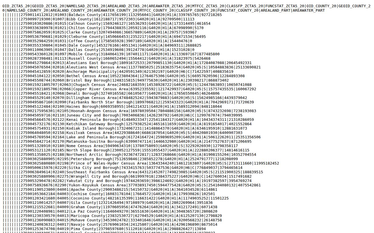
Use the relationship file to understand broad geography, then verify every actual delivery address through USPS. The research did not locate an official countywide crosswalk that names every delivery, PO-box-only, or unique ZIP and its post office, so those details should not be guessed.
Verify Northampton County ZIP Codes
A ZIP code is most useful as the first step in a precise address workflow. The county’s Assessment and GIS sources do not publish a ZIP-filter search mode. NCPUB searches owner, address, or parcel information, while the Tax Parcel Viewer searches property location or map, block, and lot. Pennsylvania’s voter-status tool confirms a specific registration rather than producing a ZIP-wide resident list. That means a ZIP narrows the place to investigate, but it does not open a resident roll by itself.
- Enter the complete delivery address in the USPS ZIP Lookup and retain the returned postal format as a routing result.
- Search the same address in NCPUB using its number, street, and direction controls to locate the county situs and parcel record.
- Use the Tax Parcel Viewer’s property-location search with house number and full road name, using road abbreviations such as RD, ST, or AVE.
- Compare municipal boundaries, road centerlines, parcel data, and the county ZIP layer in GIS. Preserve the postal format, county situs, and legal-description reference when they differ.
Once an address is narrowed to a street, the Northampton County street directory has the fuller address-record trail. A county parcel owner or mailing address is still not a list of current occupants.
Northampton County Address Search Fields
NCPUB’s address route is a parcel search, not a ZIP search. For a postal result that needs a county record, enter the property number, street, and direction as the interface requires. The captured direction choices are blank, A, E, N, NA, NE, NW, S, SE, SW, and W. There is no visible ZIP, unit, or street-suffix field in that address route. Use the returned parcel information as a lead, then compare it to the tax map and the Recorder where title-sensitive facts matter.
| County field | Format or purpose | Why it matters |
|---|---|---|
| Number | Property house number | Starts the situs-address match |
| Street | Street-name entry | Pairs with number and direction |
| Direction | Blank, A, E, N, NA, NE, NW, S, SE, SW, or W | Separates similarly named roads |
| Parcel number | Exact parcel identifier | Best bridge from GIS to the assessment card |
| Owner name | Text route with surname variants | Tax-record ownership lead, not residence proof |
The NCPUB address-search disclaimer says the information is for personal use, may be changed or deleted, and is not guaranteed for accuracy or currentness.
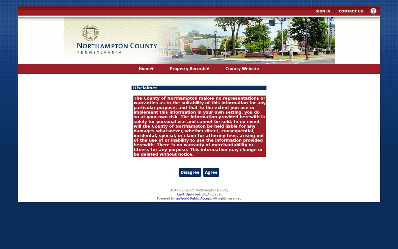
For that reason, use an NCPUB result to identify a parcel, then reconcile a current assessment issue with the Assessment Office and a recorded-document question with the Recorder. The parcel’s mailing address and situs should remain separately labeled.
Note: Retain the exact address form entered because older directory and deed wording may not match modern postal formatting.
Northampton County Map Layers
County GIS supplies the geographic layer behind an address search. Its published operational layers include municipal and school boundaries, building footprints, road centerlines, railroads, ZIP codes, waterbodies, and waterlines. The Tax Parcel Viewer also accepts a property location, an owner last name, or a MAP, BLOCK, and LOT query. It can show parcel information after a map selection, but it remains a parcel and tax-map tool rather than a directory of people.
The Northampton County ArcGIS map-service query interface is the published county map-service source.
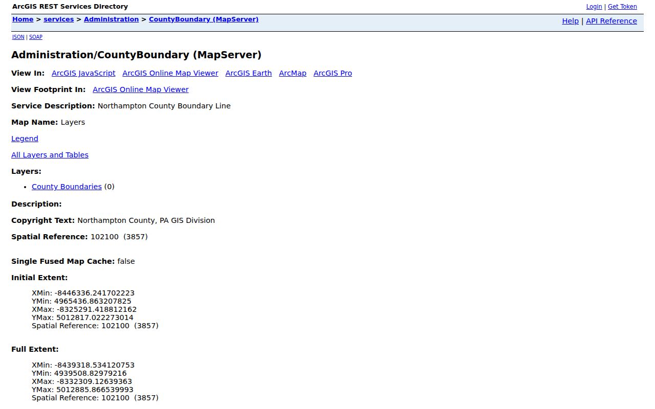
A map layer can show why a postal label and municipal boundary differ. It can also connect an address to its parcel context. The relevant county record for property ownership is still the Assessment Data and Recorder trail, not the map image alone.
Northampton County ZIP Code Boundaries
Postal, municipal, and legal boundaries can all be correct at once. USPS gives the delivery format. The county situs and municipality come from parcel records. A deed’s legal description identifies land through its recorded description rather than its postal label. Northampton County’s patchwork includes cities, boroughs, and townships, and the county also reaches county and state boundaries. A boundary ZIP is a delivery-area clue, not proof that a person, parcel, or public office lies inside the county.
- ZIP and ZIP+4
- A ZIP identifies a postal routing area. ZIP+4 adds a smaller delivery segment and does not change parcel or municipal boundaries.
- PO-box ZIP
- A code used for post-office-box delivery. It should not be treated as a physical situs address.
- Unique ZIP
- A postal code assigned to one organization or delivery arrangement. USPS, not a Census ZCTA file, confirms it for an address.
- Carrier route
- A postal delivery grouping used for mail handling. It is not a resident roster or municipal boundary.
- ZCTA
- A Census statistical representation of ZIP service territory that can differ from a complete USPS ZIP list.
Northampton County Historic Geography
Historic records need the geography of their own date. Bethlehem consolidated five municipalities in 1917, and many South Bethlehem street names changed. An older directory or map can therefore be accurate even when it uses a name that a current address search does not recognize. Keep the historic spelling, municipality wording, nearest cross streets, and legal-description clues before trying to connect it to a current postal label.
The 1860 Northampton County map includes insets for Easton, Bath, Bethlehem, Freemansburg, and Nazareth, with owner and householder labels in village areas. The Library of Congress Easton Sanborn material includes an inspected 1963 item with 107 sheets. These maps can help establish historical building and street context, but not present occupancy. Their value is geographic continuity, especially when a current ZIP code makes an older place name look unfamiliar.
Northampton County Three Address Records
Use each address form for its intended purpose. A USPS response is the best current postal check. NCPUB supplies an initial property search when a postal label is not enough. The Tax Parcel Viewer bridges house number and road name to map, block, lot, CAMA, and parcel identifiers. The Parcels service can show location, owner lines, mailing-address lines, municipality, and a DEED reference. A DEED value is a lead for Recorder research, not an independent title chain.
The Recorder’s Landex material adds parties, recording dates, instruments, book or page references, and legal-document context. For historical continuity, Marx Room and Bethlehem directories retain printed street and municipality wording. Do not silently replace an old description with a current address. Comparing both records protects the history of the place and keeps the ZIP code directory from overstating what postal geography can prove.
Northampton County ZIP Code Limits
A ZIP code does not prove municipality, parcel ownership, current residence, or household membership. County property records can identify tax-record ownership and a mailing or situs address, but their own public data notice requires caution. Census ZCTAs are broader statistical areas, and postal ZIPs may cross county lines. Each result needs a source label and date, particularly where an address lies near another county or New Jersey.
Some address information is also protected. Pennsylvania’s Address Confidentiality Program permits eligible participants to use a substitute mailing address in voter, court, state, school, marriage-license, vehicle, and utility records. The Pennsylvania Right-to-Know Law has exceptions for sensitive personal and safety information. Do not use a postal result, parcel record, or map to work around a protected address, stalk, harass, intimidate, or harm anyone.
When an address field appears wrong, contact the custodian that maintains that field. Ask the postal service about mailing format, County Assessment about parcel-address information, the Recorder about recorded-instrument procedure, and the municipality identified on the parcel about local address or permit issues. A narrow correction request is more reliable than changing historical wording in a directory.
Note: A full address verification must stop at the records the responsible custodian makes available to the requester.