
Trace a Northampton County Street
A Northampton County street directory is an address-record workflow, not a complete list of people on a road. Start with the physical address in county assessment data or GIS, select the right municipality, and record the parcel number, situs address, and legal-description clues. Then use the parcel and owner information to locate a recorded transfer. The trail can establish tax-record ownership and a property chronology. It cannot establish every person at the address.
- Search the address in Northampton County Assessment Data and save the parcel number, municipality, situs address, and displayed owner name.
- Open the same location through Northampton County GIS, inspect parcel boundaries, and identify the tax-map context before comparing nearby parcels.
- Use the parcel number and owner as leads in the Recorder route. Confirm a transfer with its legal description, recording date, and volume/page or instrument reference.
- Search the earlier seller as a grantor when following the same land backward. Compare lot, block, subdivision, and municipality wording at each link.
- For a past address, consult a cross-reference directory or map from the same period instead of treating a current parcel card as historic occupancy evidence.
That order matters. Street numbers, postal labels, and owner names can change, but a parcel identifier and legal description provide stronger bridges between the map, assessment record, and recorded document.
Search Northampton County Parcels
Assessment Data is the practical first stop for a street-directory search. Its public interface supports owner name, property address, parcel number, and municipality or geographic selection. Use the situs, meaning property-location, address rather than a mailing address when you are trying to match a place on a street. A mailing address shows where tax notices go and may be somewhere else.
| Assessment search field | Use in a street search | Important limit |
|---|---|---|
| Owner Name | Tests surname variants after a parcel is identified. | A hit does not establish current residence. |
| Property Address | Starts with the situs address for the street segment. | Historic formatting may differ from a directory. |
| Parcel Number | Connects the GIS tax map to the assessment card. | Use the exact identifier shown by the county. |
| Municipality selection | Separates same-named streets across boroughs and townships. | Its available choices should be checked live. |
The county’s Tax Parcel Viewer offers a second route when the address form is difficult. Its Property Location mode uses House Number plus Full Road Name, with standard forms such as RD, ST, or AVE. Its MAP, BLOCK, and LOT search takes map first, then block, then lot. Keep those values with the municipality before moving into a deed index.
Note: The assessment application is a useful county research lead, but the county says its data can change and is not guaranteed as current or accurate.
Read a Northampton County Parcel
Several labels that look similar describe different things. Separating them prevents an address-record search from overstating what the record says. The county parcels service can display owner lines, three mailing-address lines, property location, assessed and market values, a DEED pointer, and tax-program flags. Those values connect records, but they do not add up to a household roster.
- Parcel
- A tax-map unit used to identify land for county assessment and GIS work.
- Situs address
- The property-location address. It is the address to compare with a map and street search.
- Mailing address
- The address used for notices. It can differ from the situs and should be labeled separately.
- Plat or legal description
- The lot, block, subdivision, or other recorded land description used to confirm that two documents concern the same property.
- DEED pointer
- An assessment-service reference that leads toward Recorder research, not the deed image or a title guarantee.
For a street-by-street comparison, record the parcel number first and then look up each parcel separately. This avoids mistaking a map position or a mailing field for evidence about the people who may be at a property.
Northampton County Street Records
Different address-keyed sources answer different questions. A full street-by-street search uses the one that fits the question, then preserves its limit. Assessment and GIS are the current property layer. The Recorder supplies recorded-document history. A municipal file may add a narrow address-specific trail, and the Marx Room supplies historical printed context for covered years and places.
| Address source | County or local keeper | What it can establish | Boundary to retain |
|---|---|---|---|
| Assessment card | County Assessment | Parcel, owner, situs or mailing distinction, and values. | Not a full occupancy record. |
| GIS parcel map | County GIS | Boundary, location, nearby tax parcels, and map context. | Map labels need assessment confirmation. |
| Recorded deed or mortgage | Recorder of Deeds | Grantor, grantee, recorded transfer, and document reference. | Not every person who used the address. |
| Municipal permit or code file | Municipality identified by parcel | Public work, inspection, or application history if available. | No countywide unified file exists. |
| Cross-reference directory | Marx Room | Historical listed address and occupant pairing for a covered year. | Coverage depends on place and volume. |
For a named person rather than an address, the goal changes. The Northampton County resident lookup route focuses on confirming one person across the appropriate official records instead of walking a whole street.
Map a Northampton County Street
County GIS is the geographic connector for an address search. Locate the property in the interactive map, inspect the outline, and carry the parcel ID into Assessment Data. The GIS Division supports tax assessment, voting, and emergency services and publishes interactive maps as the normal public entry. The service also reports identify and query capabilities, but the ordinary reader should use the viewer rather than infer results from technical service data.
To follow a short segment, zoom to the target parcel and use parcel boundaries to identify adjoining tax parcels. Click or identify each one, record its parcel number, then query the assessment record. The county’s separate Buffer Search can start from a CAMA ID, location, or owner last name and lets a user choose a distance and shape. Its exported labels include Parcel ID, Parcel Location, Occupant, and Mailing Address. Those are tax-map output labels, so they still need careful interpretation.
Northampton County’s geography is the reason for this extra step. Postal ZIP, municipal situs, and a legal description can legitimately differ. Keep all three forms of location when an address crosses a borough, township, county, or postal boundary.
Northampton County Landex Dates
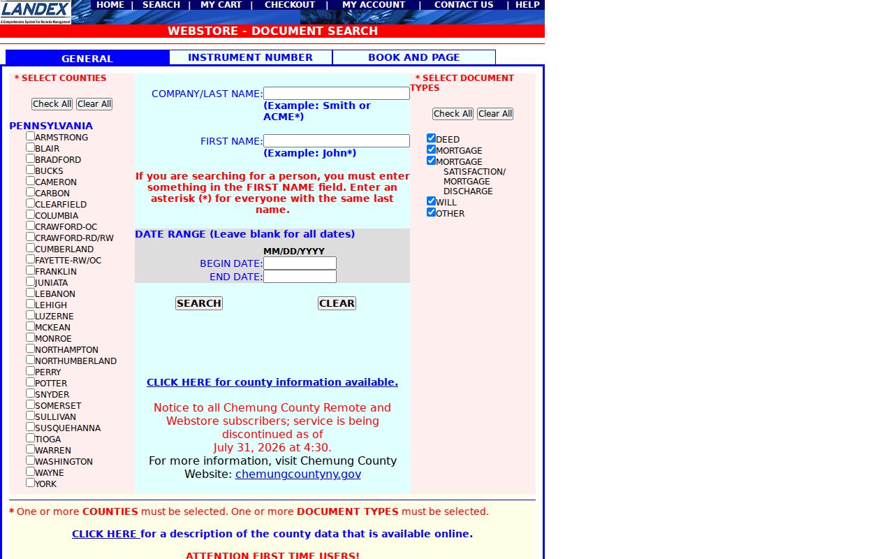
The Recorder’s Landex Webstore is the recorded-document route after a parcel has been established. The General tab uses county selection, Company or Last Name, First Name, optional beginning and ending recording dates, and document types including Deed, Mortgage, Mortgage Satisfaction or Discharge, Will, and Other. An asterisk matches a string and a question mark matches one character, but broad name searches are capped at 250 results. Known references can be searched through the Instrument Number or Book/Page tabs.
Landex county coverage information shows that record classes have separate dates. Deed index data begins in May 1978 and deed images in August 1947. Mortgage index data begins in December 1984 and images in February 1951. Miscellaneous index data starts in December 1985 and images in December 1947. Maps begin in January 1993 for both index and images.
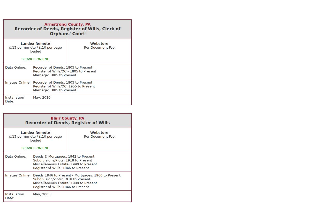
The distinct dates matter. There is no single online-from year for every Northampton County street record. Before an online range, continue through the Recorder or Archives index, Landex terminals, and courthouse microfilm rather than assuming the land trail ends.
Follow Northampton County Deeds
A recorded deed chain runs through the land description, not merely a repeated street number. Start with the current owner as grantee, find the purchase, and then search the seller as grantor for that seller’s own acquisition. At each step, compare the municipality, lot or block wording, subdivision wording, legal description, and recording reference. A transaction may involve an estate, trustee, company, multiple parties, or a renamed subdivision, so the name alone is not enough.
The Landex document-search screen supports general name, instrument-number, and book/page routes. Webstore adds a $5 order-processing charge and makes a purchased PDF available immediately and in order history, rather than by email. Certified copies must come from the courthouse or Recorder. The county’s Remote Service is a distinct account-based application with listed Northampton pricing of $0.15 per minute plus $0.10 per loaded page.
A deed title or party list needs the image and its context. Recording date is not automatically the signing or sale date, and a DEED value on a parcel service is only a lead to this next verification step.
Northampton County Street Alerts
The Recorder also links to Northampton County Record Alert, a free Landex monitor for an owner’s entered name or parcel/UPI number. It allows up to five names and five parcel or UPI numbers for each email and phone combination. A match can include the name, recording date, instrument number, type, and municipality. It is a useful follow-up for a property record, not an address roster.
Northampton County Record Alert does not block a filing or decide that a filing is fraudulent. Its stated verification loop is to search Webstore by name or instrument and then contact the Recorder or law enforcement as appropriate. Recorder contact is listed as 610-829-6210; Record Alert’s FAQ lists 610-829-6500.
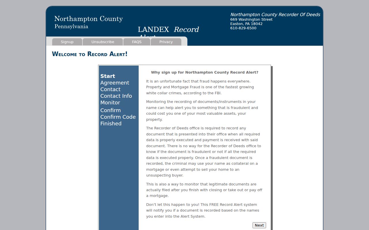
The alert is strongest when it follows a confirmed parcel and legal description. It should not replace checking the actual recorded instrument with the custodian.
Note: An alert match identifies an indexed record lead, so verify the document and parcel before drawing a conclusion about the property.
Northampton County Permit Routes
Permit and code records change when a street crosses a municipal line. First identify the municipality from the county parcel layer, then ask that municipality’s building or code office about its public route. Easton’s official route is an application and records page, while Bethlehem posts monthly permit reports reaching back to 2011. Neither is a countywide address-search system.
Easton Planning and Codes forms and documents show the local route for an Easton address. For a narrow request, name the address, date range, and known record type. Pennsylvania’s Right-to-Know Law permits a request for an existing agency record, but a request should not ask an office to create an answer or assume the same procedure in every municipality.
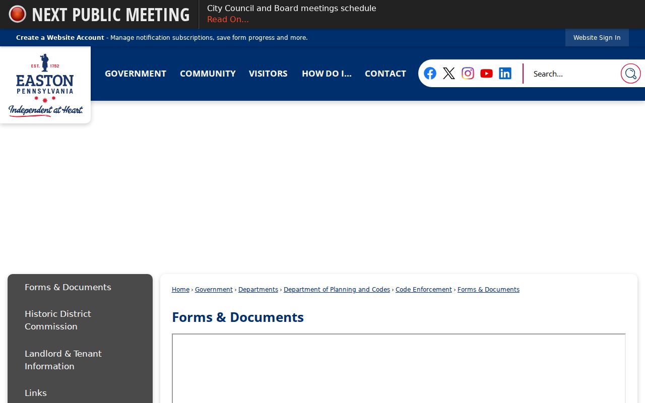
Municipal records can explain work or inspection history connected to an address. They do not turn an address-record trail into a list of current household members.
Northampton County Historic Streets
For older street questions, the Henry F. Marx Local History Room is a better source than a current owner card. Easton city directories start in 1855, and the collection includes Easton-area telephone and cross-reference directories. The digitized 1890 Census Directory adds a county and municipality snapshot. Preserve the printed municipality section, spelling, and abbreviations before comparing any historical address with a current map.
The 1860 Northampton County map has village insets with owner and householder labels, and the 1963 Easton Sanborn has 107 sheets for street and building context. Those maps can explain the setting of an old listing, but they are not occupancy lists. For the full historical shelf and how to read a printed entry, use the Northampton County City Directory collections.
Note: A historic address should remain exactly as printed until period maps, municipality names, and legal-description evidence support a documented connection.
Limits of Northampton County Streets
An address-record search cannot reveal a complete present household. County assessment and parcel tools distinguish tax-record owner, mailing address, and situs. They do not establish who is living at a property. The state voter-status tool confirms a named registration and is not a street-browsing service. A permitted voter-list request has separate legal limits, and protected addresses must not be reconstructed.
Other records remain outside this kind of search: protected voter and Address Confidentiality Program addresses, vehicle and driver data, utility customer information, nonpublic law-enforcement material, and unrecorded household membership. A nonmatch can reflect a move, spelling variation, a protected address, or a source that simply does not cover the question.
Lawful use. Use Northampton County address records for legitimate personal, historical, property, or civic research. Do not use information from a record trail to stalk, harass, intimidate, or harm anyone.